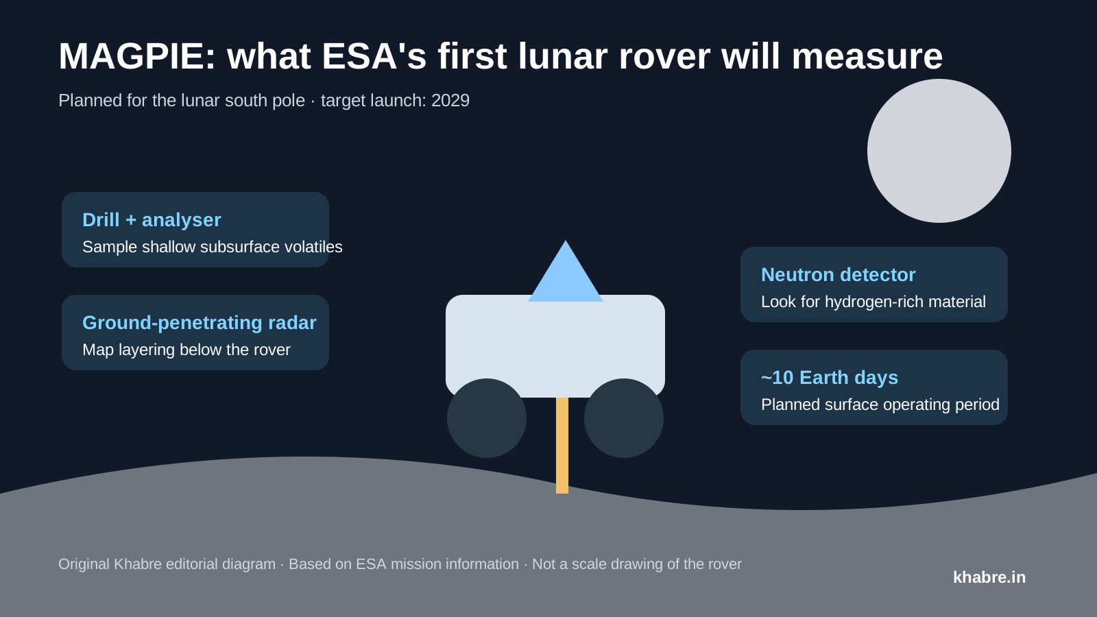
The European Space Agency has moved forward with MAGPIE, a small rover intended to become ESA's first rover on the Moon and to investigate water and other volatile substances near the lunar south pole.
ESA and ispace-Europe announced implementation of the mission on 2 September 2026. MAGPIE — short for Mission for Advanced Geophysics and Polar Ice Exploration — is planned to fly on ispace's Mission 4 lunar lander in 2029.
The rover is designed for a relatively short surface mission of about 10 Earth days, but it carries a focused set of instruments intended to examine one of the most important questions in current lunar exploration: where water and other volatile compounds are located and how they are distributed below the surface.
Contents
- Why the lunar south pole matters
- What MAGPIE will carry
- Why drilling matters
- How radar adds context
- Why neutron measurements are useful
- What the mission could teach us
Why the lunar south pole matters
The Moon's polar regions contain terrain where the Sun remains very low on the horizon. Some crater interiors are permanently shadowed and can stay cold enough for volatile molecules to survive for very long periods.
Remote observations have produced evidence for water and hydrogen-bearing material in polar regions, but orbital measurements cannot answer every question about concentration, physical form or depth.
A rover can combine measurements taken at different locations and directly probe the shallow subsurface, providing ground truth that complements orbital maps.
That information has scientific value because lunar volatiles can preserve clues about how water was delivered to and redistributed around the Moon. It also matters for future exploration because locally available water could, in principle, support life-support systems or be separated into hydrogen and oxygen for propellant. MAGPIE is an exploration mission, not a commercial extraction system.
What MAGPIE will carry
ESA says the rover will use four main types of investigation: a drill, an analyser, ground-penetrating radar and a neutron detector.
Each instrument addresses a different part of the same problem.
Drill
The drill can access material below the surface, where volatile compounds may be better preserved than in directly exposed regolith.
Analyser
Material obtained by the drill can be examined for volatile substances. The scientific objective is not simply to ask whether water exists, but to understand how much is present and in what context.
Ground-penetrating radar
Radar sends electromagnetic signals into the ground and measures reflections from boundaries between materials with different electrical properties. It can reveal layering and buried structures without excavating the entire site.
Neutron detector
Cosmic rays striking the lunar surface produce neutrons. Hydrogen changes the energy distribution of those neutrons, so neutron measurements can be used as an indirect indicator of hydrogen-bearing material.
Why drilling matters
The uppermost lunar surface is continuously altered by radiation, solar-wind particles and micrometeorite impacts. Volatile molecules near the surface can also migrate or escape depending on temperature.
Sampling below that disturbed layer can therefore provide a different view from measurements made only at the surface.
The challenge is that drilling on the Moon is mechanically difficult. Lunar regolith is abrasive, and a lightweight rover has limited power, mass and reaction force. A small mission must balance depth and sample quality against the energy and hardware required to operate the drill.
How radar adds context
A drilled sample tells researchers about one narrow location. Radar can extend that information laterally and vertically by showing whether subsurface layers continue beyond the drill site.
Combining the two methods is more informative than either alone. If a volatile-rich sample is associated with a particular radar-reflective layer, researchers can investigate whether similar layers occur elsewhere along the rover's traverse.
Why neutron measurements are useful
Neutron spectroscopy has already been used from lunar orbit to map regions that may contain enhanced hydrogen.
A rover can perform such measurements much closer to the ground and correlate them with local geology, drilling and radar observations.
That multi-instrument approach is important because no single measurement automatically proves the presence of accessible water ice. Hydrogen can occur in different chemical forms, and interpretation depends on temperature, geology and instrument sensitivity.
What the mission could teach us
MAGPIE is designed to answer questions at a scale that orbital missions cannot easily resolve: how rapidly volatile abundance changes over metres, whether subsurface layering controls where volatiles accumulate, and how local terrain affects preservation.
ESA also describes MAGPIE as its first lunar small mission, using a faster and lower-cost development model than a large flagship spacecraft.
If successful, the mission would therefore test two things at once: a focused scientific investigation of the lunar south pole and a more compact approach to European robotic exploration.
The mission is currently planned for 2029. As with any lunar mission several years from launch, schedule, landing site and payload details can still change during development.
Primary sources
- European Space Agency. ESA's first lunar rover rolls forward. 2 September 2026. https://www.esa.int/Science_Exploration/Human_and_Robotic_Exploration/ESA_s_first_lunar_rover_rolls_forward
- European Space Agency. MAGPIE. 2 September 2026. https://www.esa.int/ESA_Multimedia/Images/2026/09/MAGPIE